
Seawall repair in Indian River Shores
For a lagoon-front property in Indian River Shores, begin with the wall’s records and the town permit route. Then examine how the structure, drainage and access work together before choosing a surface repair or larger replacement.
Describe your project on this page ↓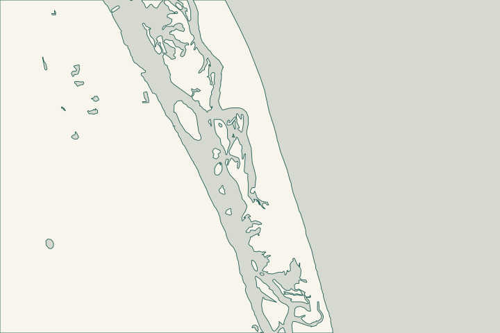
Get to know your waterfront
Indian River Shores occupies the barrier island between the Atlantic and Indian River Lagoon. The two sides bring different questions to a project. Identify the actual waterfront and parcel boundary, including for a property described by a community name such as John’s Island.
Environmental and Flood Protection Services · Indian River Shores Public Safety — About Us
Recover the wall history and inspect the complete structure
The town has its own Building Department and uses MGO Connect for applications, permit status and inspections. Start with the owner address and parcel details; an old permit may show the authorized wall line, reinforcement or drainage provisions. Building Department
The town page separates permits issued before September 28, 2026. If a portal search finds nothing, ask about legacy records before concluding the wall was never permitted. Building staff can be reached at 772-231-4453. Building Department
Ask the assessor to explain whether cracking is limited to the cap or accompanies wall movement, corroded reinforcement, lost backfill or drainage trouble. Photograph the same areas over time without approaching an unstable edge.
The town distinguishes flood zones from hurricane evacuation zones and says almost all permitted development receives floodplain review. Confirm the current parcel map; a finished-floor elevation rule is not a seawall-height prescription. Environmental and Flood Protection Services
What could the work cost?
Two comparable-looking walls can have very different access and anchoring arrangements. Ask the estimate to separate engineering, structural work, protection of landscaping and restoration of any disturbed dock or paving. Confirm whether investigation is included before comparing totals.
Published planning ranges help you start a budget. Your property’s final price depends on the scope and site conditions.
Compare quotes and plan a budget →Find the relevant permits and records
| Starting point | What to resolve | Prepare and look up |
|---|---|---|
Indian River Shores Building Department | Town applications, plan review, inspections and older permit records. | Parcel information, existing plans and a clearly described repair or replacement. |
Town floodplain review | Applicable floodplain requirements for the proposed development. | Current flood-map information and survey elevations with the datum stated. |
DEP Central District | State environmental review for Indian River County. | Wall alignment, aquatic footprint and any vegetation affected. |
Prepare a useful town permit inquiry
A compact record package makes the first conversation more specific.
Identify the correct archive
Check MGO and ask the town where records before September 28, 2026 are held. Keep copies of drawings as well as permit numbers.
Separate the water sides
State whether work faces the lagoon, an interior waterway or the Atlantic beach. Describe the proposed footprint rather than only naming the community.
Check the elevation reference
Keep survey and proposed wall elevations in the same identified datum. Do not interpret NAVD88 as a local tide level.
Start with your property’s details
Share the waterfront setting, approximate wall length, known permit history and any recent change in the cap, yard or wall face.
Clear guidance for your waterfront project.
Indian River Shores project questions
Does a 32963 address prove the property is in the town?
No. Use the parcel and official boundary information. Postal addresses and neighborhood names do not replace a jurisdiction check.
Can I rely on an empty MGO search?
Not for an older wall. The town directs attention to a separate set of permits before September 28, 2026, so request an archive check.
Is the flood map the evacuation map?
No. The town explains their different purposes. Use the flood map for property flood information and the appropriate emergency guidance for evacuation planning.
Keep planning
Nearby waterfront guides
Show sourcesHide sources
- Environmental and Flood Protection ServicesSource reviewed 2026-10-26
- Indian River Shores Public Safety — About UsSource reviewed 2026-10-26
- Building DepartmentSource reviewed 2026-10-26
- DEP Central District contactSource reviewed 2026-10-26
- Mangrove Frequently Asked QuestionsSource reviewed 2026-10-26 · official indexed text
- Tidal DatumsSource reviewed 2026-10-26
- County GIS resourcesSource reviewed 2026-10-26