Explore the city, lagoon communities, barrier island and Sebastian River. Each guide explains the local records and questions that matter for your property.
Your waterfront, in context
Explore the coast. Find your starting point.
Find the lagoon, barrier island and mainland guide for your property. A Vero Beach mailing address alone does not identify its permit office.
Full local guide
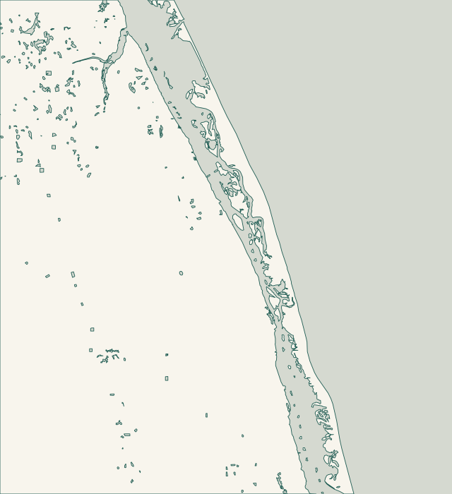
Choose a label to open local resources →Tap a community on the map or below ↗
Vero Isles has a documented drainage history: the city describes a 1950s subdivision where clay pipes carried road runoff toward the river. Its FY 2016–17 project request proposed work on 12 outfalls. Those records explain why a nearby pipe or discharge point deserves attention; they do not establish the condition of your wall today.
Indian River Shores occupies the barrier island between the Atlantic and Indian River Lagoon. The two sides bring different questions to a project. Identify the actual waterfront and parcel boundary, including for a property described by a community name such as John’s Island.
The Town of Orchid is a small municipality on the much larger barrier island also called Orchid Island. The town identifies Windsor to its north, County Road 510 to its south, the Atlantic to its east and the Indian River Lagoon to its west. Check the parcel rather than relying on a development name.
Wabasso Beach is the barrier-island community, separate from mainland Wabasso. The county’s Wabasso Beach Park sits on the Atlantic at 1820 Wabasso Beach Road; Wabasso Causeway Park is a different facility on the lagoon crossing. These landmarks help orient a project, but they do not establish a private lot’s access or ownership.
The county’s South Barrier Island map identifies the Moorings Club on Harbour Drive, South Beach Park on Ocean Drive and Round Island on South A1A. This is barrier-island South Beach, not mainland Vero Beach South. Confirm the parcel’s jurisdiction rather than assigning it to the city from a Vero Beach mailing address.
Gifford and Winter Beach are separate communities with related lagoon-planning questions. Gifford’s 45th Street Dock is a county waterfront landmark. Nearby Lost Tree Islands comprise roughly 508 acres of uplands, wetlands and submerged land north of the Merrill Barber Bridge, between the mainland and barrier island.
Wabasso is distinct from Wabasso Beach across the lagoon. The county lists separate 2000 and 2017 Wabasso Corridor Plans, and the corridor includes lagoon areas, scrub and freshwater wetlands. A mainland address does not establish a uniformly cleared construction site or unrestricted route to the waterfront.
Sebastian has its own Building Department and MGO Connect permit system. Keep that city route separate from nearby unincorporated Roseland. The city’s public waterfront projects are useful reference points, but their methods and approvals do not transfer automatically to a private lot.
Roseland is separate from the City of Sebastian. County riverfront landmarks include Roseland Community Park’s boardwalk and Dale Wimbrow Park on Roseland Road. Farther along the river system, the county’s Sebastian Canoe Launch sits on the South Prong. Use the actual river reach when describing your property.
Oslo Riverfront Conservation Area is listed at 150 9th Street SE and covers 298 acres. South Oslo Conservation Area is a separate 143-acre property south of Oslo Road and east of U.S. 1. These are local landmarks and conservation neighbors; they are not boundaries for every property called Oslo.